
Tallahassee, Florida may be known for its oak-lined streets and rolling hills, but those hills come with elevation changes that can have a big impact on your property—especially when it comes to flood risk, construction, and insurance.
At Nunamaker Land Surveying, we specialize in elevation surveys throughout Leon County and the surrounding Panhandle region. Here’s why elevation matters more than most people realize—and how a professional survey can save you time, money, and stress.
An elevation survey (often called a flood elevation certificate survey) is a type of land survey that measures the vertical height of your property in relation to a known reference point—usually sea level or FEMA base flood elevation (BFE).
It’s commonly required for:
In a city like Tallahassee, where flood zones and elevation levels can change dramatically over just a few blocks, this type of survey is often essential.
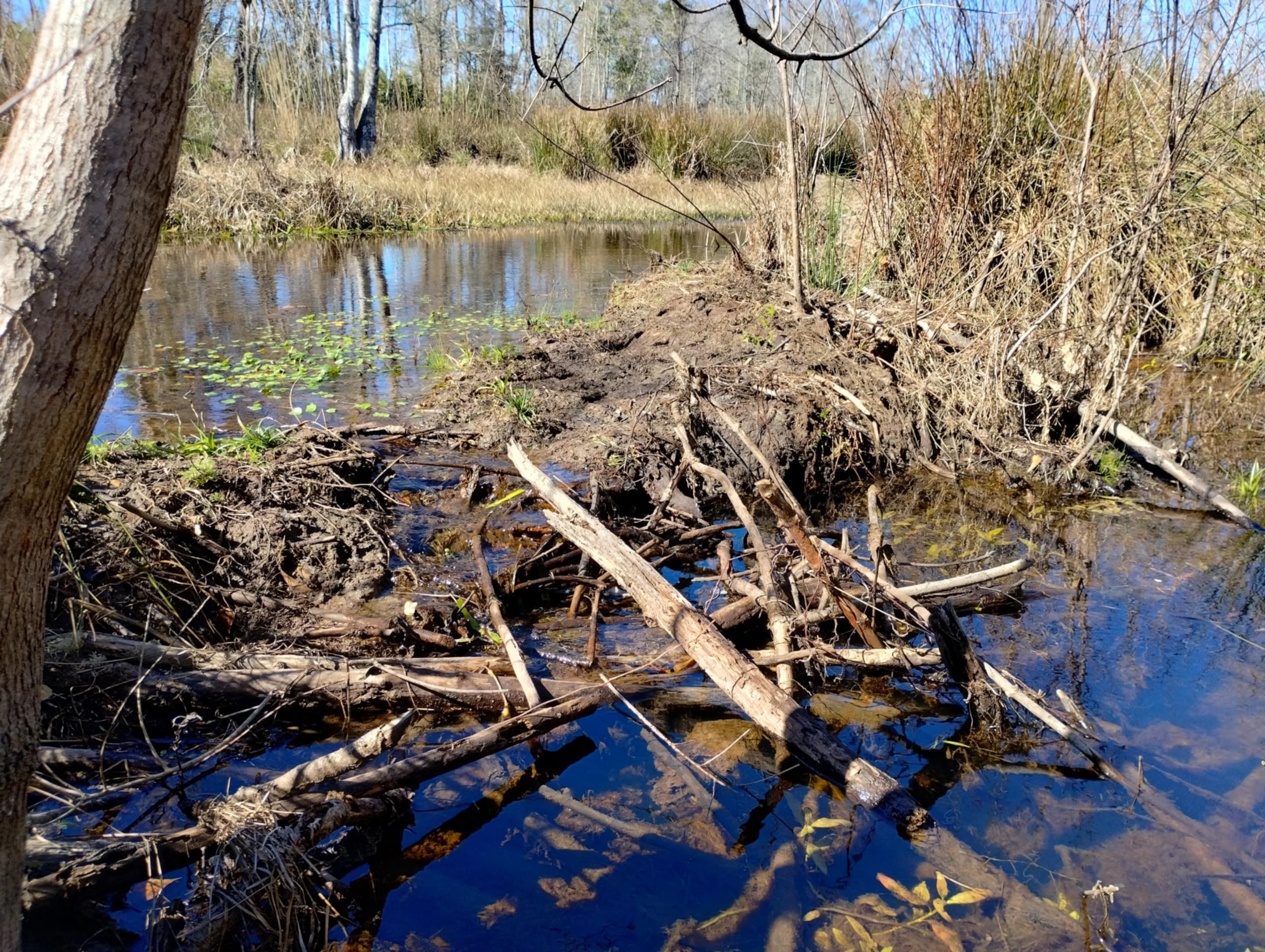
Tallahassee’s geography includes everything from high ridges and karst limestone terrain to low-lying wetlands and flood-prone basins. Localized flooding is a real concern, especially during hurricane season or heavy rainfall.
Many areas in and around Tallahassee—including parts of Southwood, Apalachee Parkway, and Betton Hills—fall into FEMA-designated flood zones, meaning elevation can directly affect:
A FEMA Elevation Certificate prepared by a licensed surveyor can help property owners prove their home or structure is above the floodplain, potentially removing the flood insurance requirement or significantly lowering your premiums.
If you're building a new home, commercial structure, or accessory building in Tallahassee, elevation is a key component of the site planning and permitting process.
Local regulations often require:
Skipping this step or relying on outdated maps can delay your project—or worse, result in non-compliance.
At Nunamaker Land Surveying, we provide pre-construction elevation surveys, work closely with your architect or builder, and ensure your site prep meets all applicable requirements in Leon County and the City of Tallahassee.
Think elevation surveys are just red tape? Think again. Many homeowners in Tallahassee discover that their insurance company is overestimating their flood risk—simply because no certified elevation data has been submitted.
Getting a professional Elevation Certificate can:
✅ Prove you're above the floodplain
✅ Reduce or eliminate mandatory flood insurance
✅ Help you qualify for better loan terms
✅ Speed up FEMA map amendment requests (LOMA)
We’ve helped Tallahassee homeowners and businesses save thousands on insurance premiums simply by providing accurate elevation data.
Our team has over 25 years of experience performing elevation surveys in Tallahassee, Woodville, Lake Jackson, and throughout the Panhandle. We understand the nuances of:
We use state-of-the-art GPS and elevation measurement equipment, and we can deliver fast, accurate reports that hold up to scrutiny by insurance companies, lenders, and building officials.
Whether you're buying, building, or just looking to lower your flood insurance, we can help. Nunamaker Land Surveying provides trusted, professional elevation surveys across Leon County and surrounding areas.
📞 Call today at [850-228-7988]
🌐 Learn more at https://www.nunamakerlandsurveyors.com
📍 Serving Tallahassee, FL and surrounding counties