
When it comes to land development, real estate transactions, or property improvement projects in Florida, one of the most important steps is choosing the right type of land survey. Understanding the differences among various survey types ensures you get the information and documentation you need to move forward confidently and legally. At Nunamaker Land Surveying, we specialize in all major Florida land survey types and have served the Florida Panhandle for over 25 years.
In this article, we’ll break down the most common types of land surveys—including the ALTA survey, boundary survey, and topographic survey—to help you determine which one suits your project.
A boundary survey is one of the most frequently requested types of surveys. It’s used to determine the exact legal boundaries of a property. These surveys are essential for resolving property line disputes, constructing fences or buildings near property edges, and ensuring compliance with zoning laws.
Why You Might Need One:
What It Includes:
Nunamaker Land Surveying uses advanced GPS and robotic total stations to deliver highly accurate boundary surveys across the Florida Panhandle.
An ALTA survey (American Land Title Association) is a detailed land survey typically required in commercial real estate transactions. These surveys are designed to meet rigorous national standards and often requested by title companies, lenders, and attorneys.
Why You Might Need One:
What It Includes:
Because ALTA surveys must meet national standards, it's critical to hire an experienced Florida surveyor familiar with these requirements—like Nunamaker Land Surveying.
A topographic survey measures the elevation and contours of the land. It’s commonly used in the planning and design phases of construction, road building, and land development.
Why You Might Need One:
What It Includes:
Our Florida-based team provides detailed and accurate topographic surveys using drone mapping and GPS technology to give engineers and architects the data they need.
Also known as site layout surveys, construction staking ensures that a construction project is built according to the approved plans. Surveyors mark the exact locations where structures, utilities, and other improvements will go.
Why You Might Need One:
What It Includes:
Construction staking is essential for preventing costly construction errors and ensuring compliance with zoning and engineering plans.
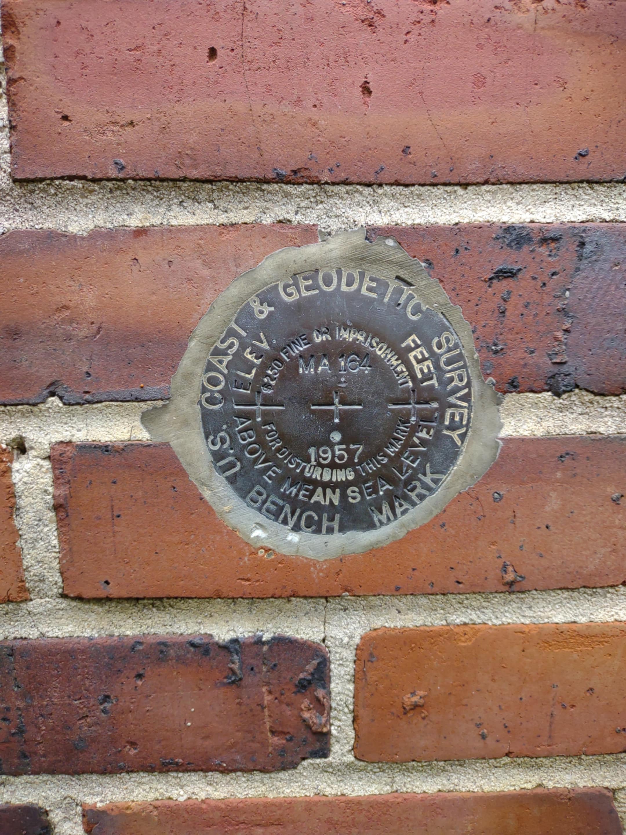
In flood-prone areas of Florida, including much of the Panhandle, an elevation certificate is often required to determine flood insurance rates or building compliance.
Why You Might Need One:
What It Includes:
Nunamaker Land Surveying provides FEMA-compliant elevation certificates to help property owners secure affordable flood insurance and avoid permit delays.
Still unsure which survey is best for your project? Here’s a quick guide:
Project Type - Recommended Survey
Buying/Selling a Home - Boundary Survey
Commercial Real Estate - ALTA/NSPS Survey
New Construction - Topographic & Construction Staking
Flood Insurance - Elevation Certificate
Dispute Resolution - Boundary Survey
Whether you need a boundary survey in Tallahassee, an ALTA survey for a commercial site in Pensacola, or a topographic survey for a new development in Jackson County, Nunamaker Land Surveying has the expertise, technology, and local knowledge to get the job done right.
Contact us today to schedule your land survey or request a free quote. We proudly serve Leon, Gadsden, Jackson, Bay, Gulf, and surrounding counties in the Florida Panhandle.